


Description
NOTE: If you DO NOT have Adobe FLASH currently installed on your computer, this product will not work.
Highlights:
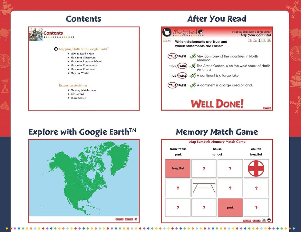
• How to Read a Map
• Map Your Classroom
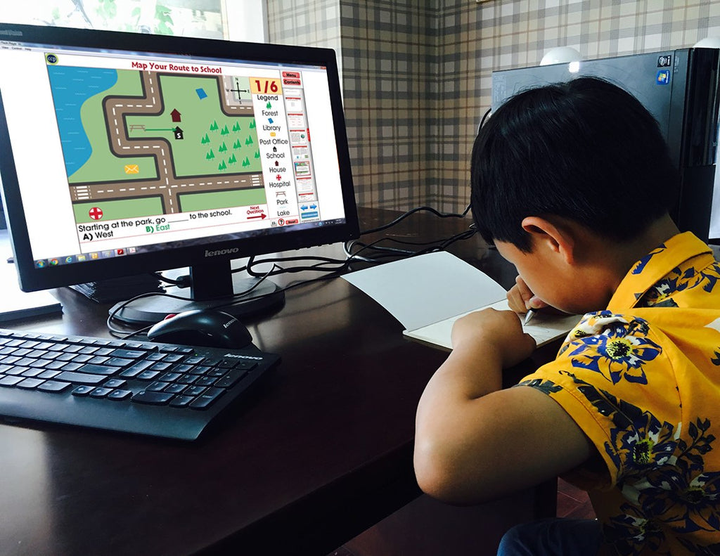
• Map Your Route to School
• Map Your Community
• The Great Lakes
• Map Coordinates
• Treasure Hunt Map
Teach your students the basics of map reading with our engaging and highly interactive 80 screen-page digital lesson plan for students in grades prekindergarten to two.
Start with the elements found on a map, such as symbols, legends and the compass rose. Then, have your students apply what they've learned by mapping their classroom and route to school. Move on to the Great Lakes of North America and the seven continents and four oceans of the world. Using any brand of Interactive Whiteboard, you will be able to create an opportunity for students to get more involved in the lesson. Each ready-made screen contains reading passages, before and after you read interactive activities, a Google Earth component, interactive map activities, test prep, memory match game, crossword, word search, printables, supporting video, and even English and Spanish Text to Speech. Test your student's comprehension of the lesson with a Comprehension Quiz. All of our content is aligned to your State Standards and are written to Bloom's Taxonomy.